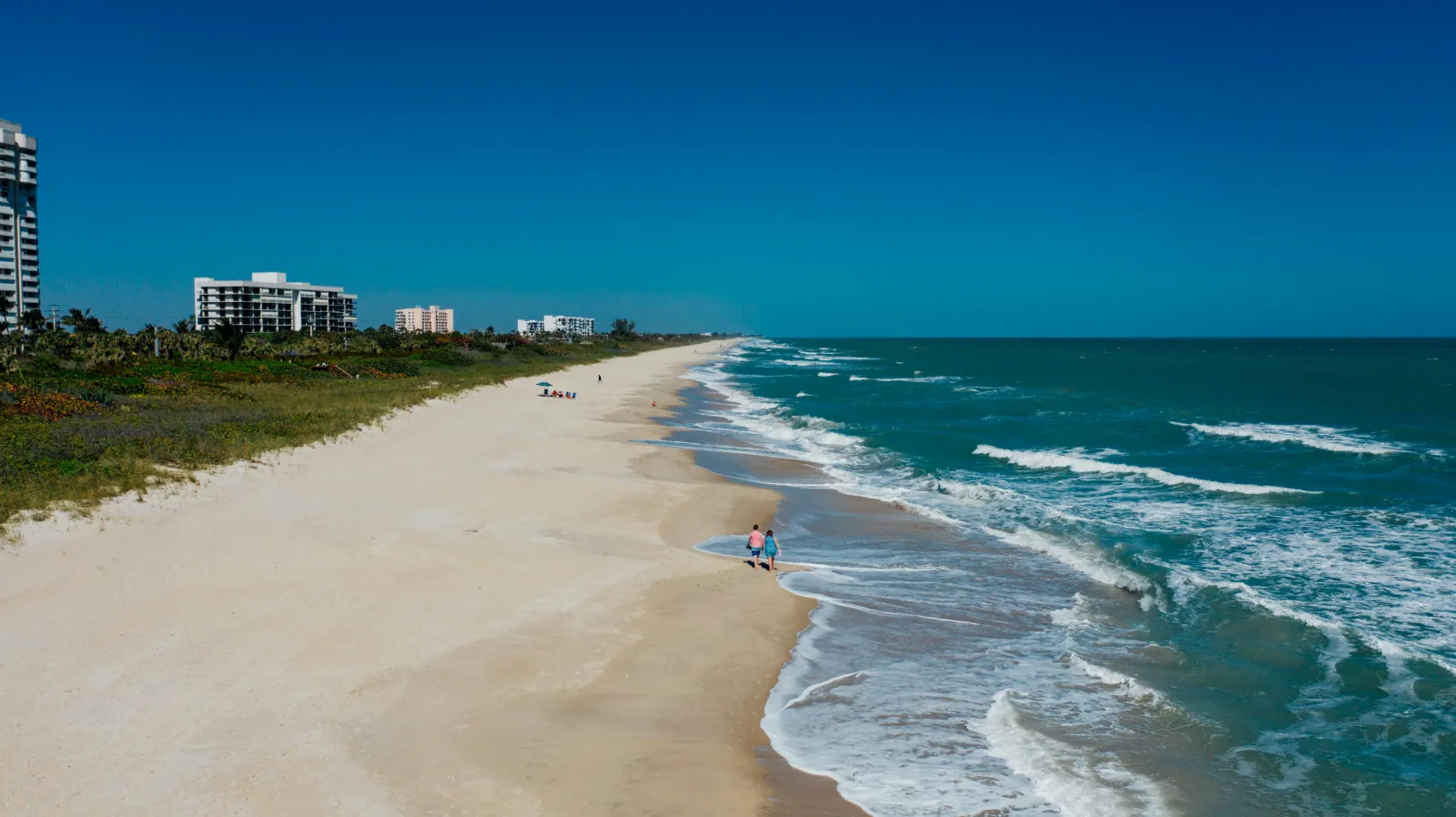
A summerlike high pressure system remains parked off the Florida coast. That has been responsible for warmer than usual temperatures over the week gone by and it will be responsible for continued unseasonable temperatures in the week ahead.
Steve Travis, Florida Weather Center, says a dip in the jet stream is coming toward the end of the week, but it may not be enough to dislodge this high.
For the long term, the El Nino weather phenomenon is active, and its prime currents are beginning a southerly drift. That means that in the coming months Florida can expect to see things become more turbulent and more chilly and wet.
For now, however, summer isn’t going anywhere.


