At a Glance
- Lake Okeechobee Scenic Trail (LOST) spans 110 miles around Florida’s largest freshwater lake with 65+ miles currently accessible
- Free, multi-use path combines paved sections, compacted rock, and Herbert Hoover Dike segments
- Best access points: Port Mayaca, Okeechobee City, and Clewiston for first-timers
- Bring your own water, sun protection, and GPS device; services are limited
What Makes the Lake Okeechobee Scenic Trail Different
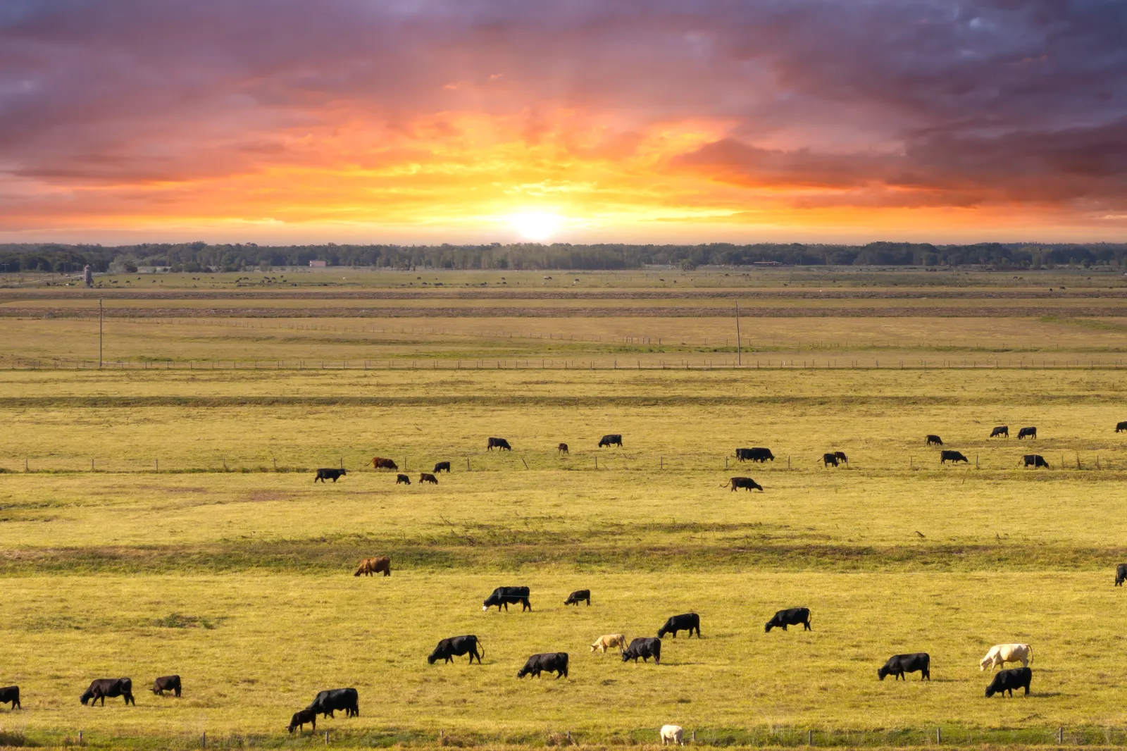
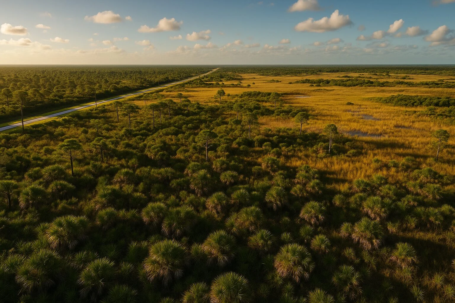
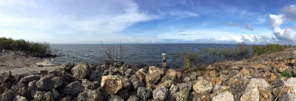
The Lake Okeechobee Scenic Trail sits atop the Herbert Hoover Dike, a massive flood control structure managed by the U.S. Army Corps of Engineers. This elevated position delivers uninterrupted views across Big O, the 730-square-mile lake that anchors South Florida’s water system. Unlike typical rail trails, LOST blends engineering infrastructure with ecological education, winding through cattle ranches, wildlife management areas, and small agricultural towns.
The trail officially opened in segments starting in 2010, with ongoing construction filling gaps between Okeechobee County, Glades County, Hendry County, Palm Beach County, and Martin County. Current maps from the South Florida Water Management District show roughly 65 miles rideable or hikeable, with completion estimates targeting 2028 for the full loop.
Trail Sections Ranked by Experience Level
Okeechobee City to Port Mayaca (Beginner-Friendly)
This 26-mile eastern stretch ranks as the most developed segment. Start at Okee-Tantie Recreation Area in Okeechobee, where the Florida Department of Environmental Protection maintains restrooms, picnic shelters, and ample parking.
📍 Location: 10100 Highway 78 West, Okeechobee, FL 34974
⏰ Hours: Sunrise to sunset daily
🚴 Surface Type: Paved and crushed limestone
💧 Water Stations: Available at trailhead only
The path hugs the dike’s north slope, offering sunrise views over the lake’s sawgrass marshes. Wildlife spotters report frequent American alligator sightings near Nubbin Slough around mile marker 8. Birders targeting limpkins, purple gallinules, and snail kites should bring binoculars for the shallow water zones.
Local consensus warns against summer midday rides. Shade is nonexistent, and afternoon thunderstorms develop rapidly across the open prairie. Early morning starts before 8:00 AM provide cooler temperatures and better animal activity.
Clewiston to South Bay (Intermediate Challenge)
The 16-mile western corridor between Clewiston and South Bay sees fewer users despite quality trail conditions. Access from Clewiston City Park on West Sugarland Highway includes basic facilities and connection to downtown dining options.
📍 Location: 111 West Sugarland Highway, Clewiston, FL 33440
⏰ Hours: Open 24/7 (trailhead facilities close at dusk)
🚴 Surface Type: Compacted rock base, some loose gravel
🦅 Wildlife Highlight: Migratory waterfowl October through March
This segment parallels sugar cane fields owned by U.S. Sugar Corporation, creating visual monotony but excellent training ground for distance cyclists. The Clewiston Chamber of Commerce notes that the spring harvest season (February to April) adds heavy truck traffic on nearby roads, though the elevated dike trail stays separated.
Experienced riders complete the out-and-back in 4 hours, including stops at the South Bay Recreation Area turnaround. Pack all food and repair supplies—the nearest bike shop sits 18 miles away in Belle Glade.
Port Mayaca to Canal Point (Advanced Exploration)
Northern sections between Port Mayaca Lock and Dam and Canal Point present the roughest conditions. Recent dike reconstruction leaves stretches closed periodically, requiring detours onto State Road 76 or U.S. Highway 441.
Check real-time status through the U.S. Army Corps of Engineers Jacksonville District website before attempting this 14-mile segment. When open, the rewards include solitude and panoramic views toward Pahokee and the lake’s deepest waters.
🏗️ Project Status: Intermittent closures through 2026
📱 Signal Strength: Unreliable; download offline maps
🚧 Detour Length: 3-mile road segments during closures
Trail advocates from Lake Okeechobee Regional Initiative suggest tackling this section as a shuttle ride rather than full loop until completion. The loose aggregate surface demands mountain bike tires or hybrid setups minimum.
Essential Gear and Safety Protocols
The lake okeechobee trail demands self-sufficiency. Cell coverage drops between trailheads, especially on southern sections near Fisheating Creek Wildlife Management Area. Carry minimum two liters of water per person, electrolyte supplements, and a charged phone with GPS enabled.
Weather shifts define the lake okeechobee scenic trail experience. Morning fog reduces visibility to 50 feet during winter months. Summer brings lightning storms that leave zero shelter options on the exposed dike. Monitor radar through National Weather Service Melbourne forecasts and retreat to vehicles if storms approach within 10 miles.
The Florida Fish and Wildlife Conservation Commission reminds users that the dike crest serves active flood control functions. Stay on designated paths and respect closure gates during high water events. Fines for trespassing into restricted areas start at $500.
Wildlife Encounters and Ethical Viewing
Big O supports over 200 bird species, 40 mammal types, and healthy reptile populations. The Audubon Society designates the lake as an Important Bird Area for threatened Everglades snail kites and nesting bald eagles.
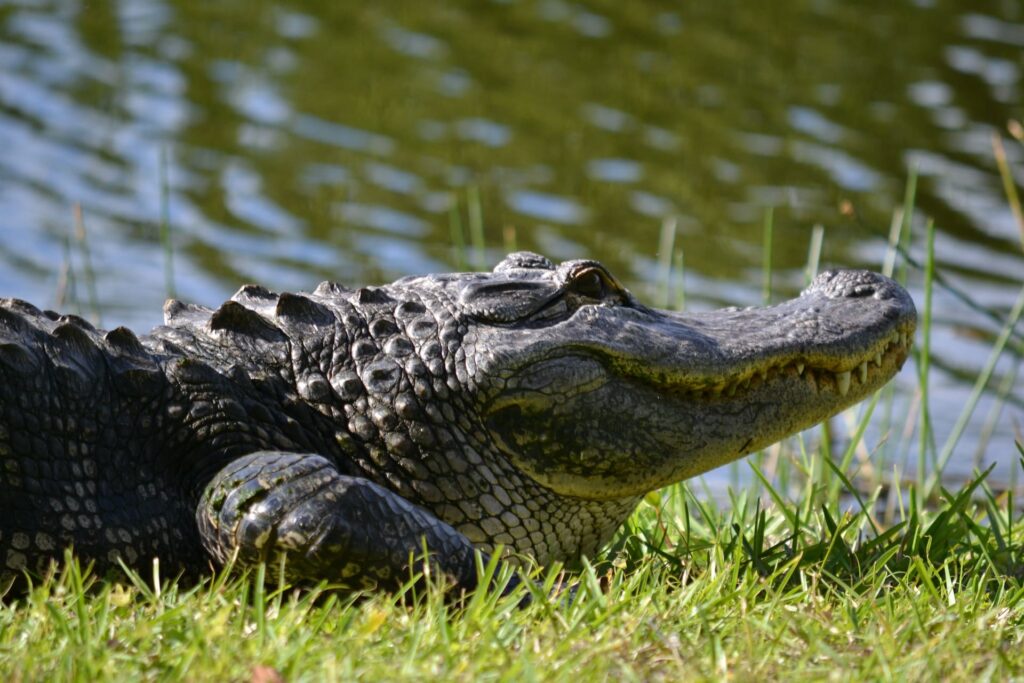
Alligators occupy every water access point. Maintain 20-foot distances and never approach nests or juveniles. Feeding wildlife remains illegal statewide under Florida Statute 372.667, carrying penalties up to 60 days jail time.
Spring months (March through May) deliver peak birding as neotropical migrants rest along the shoreline during northward journeys. Fall (September through November) brings wading bird concentrations hunting aquatic prey in receding waters.
Local Services and Trail Towns
Okeechobee offers the most comprehensive services, including bike shops, grocery stores, and overnight lodging. The Tiki Bar & Grill on Taylor Creek provides waterfront dining two miles from the Okee-Tantie trailhead.
📍 Location: 103 SW Park Street, Okeechobee, FL 34974
⏰ Hours: 11:00 AM to 9:00 PM (closed Tuesdays)
🍴 Trail Favorite: Catfish basket and key lime pie
Clewiston caters to anglers more than cyclists but stocks basic supplies at Walmart and local gas stations. The Clewiston Inn downtown books solid during winter fishing tournaments, requiring advance reservations.
Moore Haven, at the western apex, blends Old Florida charm with limited infrastructure. The town’s famous Moore Haven Lock creates photo opportunities but lacks trail-specific amenities.
Frequently Asked Questions
How long does it take to bike the entire Lake Okeechobee Scenic Trail?
Most cyclists complete the accessible 65-mile sections over two to three days with overnight stops in trail towns. Ultra-endurance riders finish the route in 8 to 12 hours, though support vehicles remain essential for nutrition and mechanical issues. The full 110-mile loop, once complete, will likely require three to four days for recreational pace with camping or hotel breaks.
Can you camp along the lake okeechobee trail?
Primitive camping is not permitted on the Herbert Hoover Dike itself due to U.S. Army Corps of Engineers regulations. Designated campgrounds exist at Okeechobee KOA, Uncle Joe’s Fish Camp, and several Glades County parks within 5 miles of trail access points. Backcountry permits are available for Fisheating Creek Wildlife Management Area sections but require separate applications through Florida Fish and Wildlife Conservation Commission.
Is the Lake Okeechobee trail safe for solo riders?
The trail sees moderate traffic near urban access points but long isolated stretches elsewhere. Solo riders should file trip plans with contacts, carry satellite communication devices like Garmin inReach, and avoid remote sections during extreme heat. Martin County Sheriff’s Office and other jurisdictions patrol periodically, but response times exceed 30 minutes in emergencies. Riding in groups provides safety advantages and shared logistics for water resupply.
What’s the best season to hike or bike LOST?
November through March offers ideal conditions with temperatures between 60°F and 75°F, lower humidity, and minimal afternoon storms. Winter also concentrates migratory birds and reduces biting insect pressure. Summer months (June through September) bring extreme heat, daily lightning, and aggressive mosquito populations that make the exposed trail unpleasant. Early fall (October) balances decent weather with fewer crowds.
Are e-bikes allowed on the lake okeechobee scenic trail?
Yes, electric bicycles classified as Class 1 or Class 2 under Florida Statute 316.003 are permitted on all paved and improved sections. The trail’s flat profile makes pedal-assist bikes popular for older riders and those completing long distances. Motorized vehicles including golf carts, ATVs, and motorcycles remain prohibited except for authorized maintenance personnel.